All the information you need to know ahead of Kevin Sinfield's Extra Mile Challenge, inspired by former team-mate Rob Burrow.
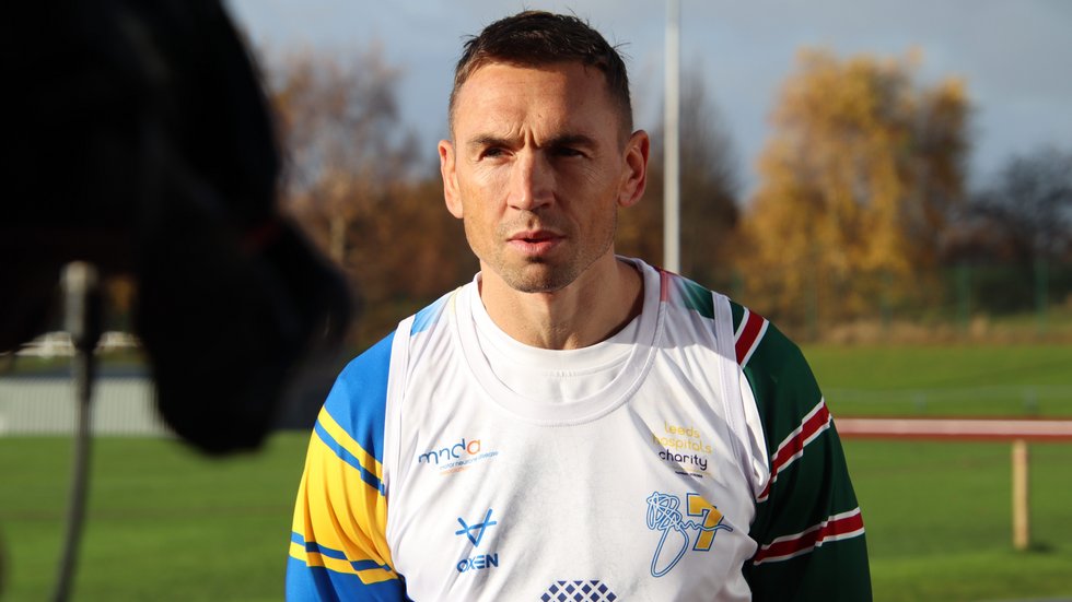
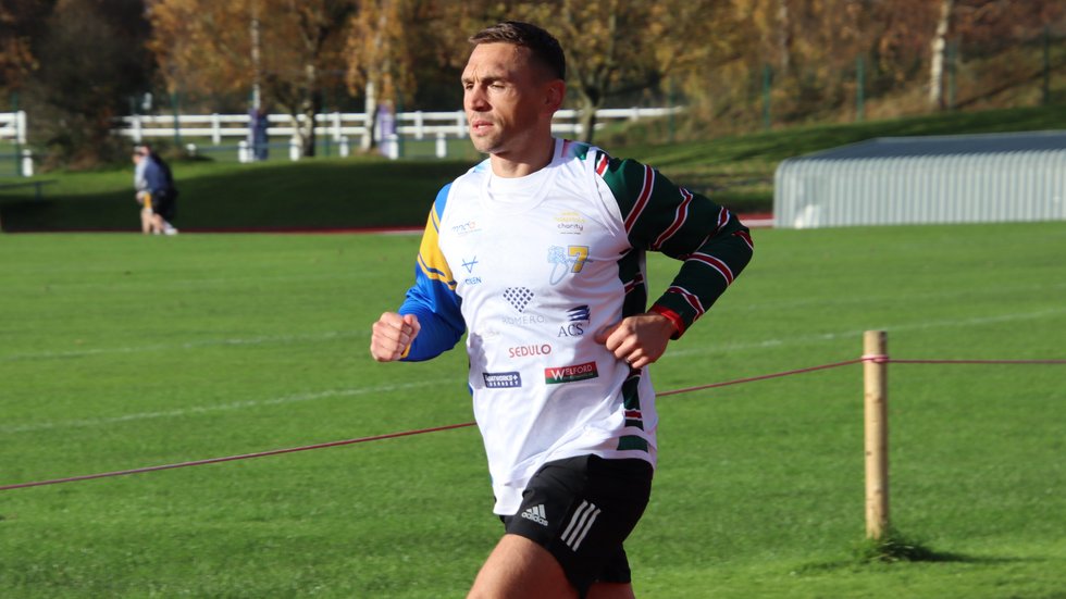
The Leicester Tigers Defence Coach is running 101-miles from Mattioli Woods Welford Road to Headingley Stadium in 24 hours from Monday, November 22 - Tuesday, November 23.
Sinfield will lead a team to undertake the remarkable fundraising challenge to run from Leicester from Leeds, the home of his former club Leeds Rhinos, in aid of two charities in support of the motor neurone disease community.
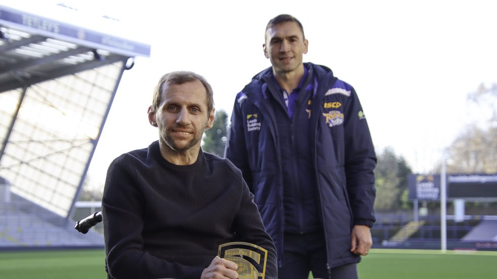
Sinfield is aiming to raise £100,000 which will be equally split between the MND Association and the appeal to build The Rob Burrow Centre for Motor Neurone Disease in Leeds.
The run will be split into 7km sections, to mark Burrow’s iconic shirt number, with each section to be completed within an hour before the next leg starts an hour after the previous.
Supporters can join the send-off at Mattioli Woods Welford Road. Entry is possible from 8.00am on Monday, November 22 via Gate 1 (Aylestone Road end of the North Stand) at the Leicester Tigers stadium.
What3Words
Mobile App What3Words is being used to help supporters track Kevin's run throughout the challenge.
The App provides a location of 3 square metres, allowing supporters to know precisely where the start and end points are for Kevin throughout the 24-hour challenge.
Information for using the App is included on each start / end point on the route below.
The Route - Legs
| Leg | Start Time | Start place | What3Words | End location | What3Words |
| 1 | 08:40 | Welford Road | values.cities.trap | Firs Dental, Loughborough Road | income.legend.wakes |
| 2 | 09:40 | Firs Dental, Loughborough Road | income.legend.wakes | Sielby Road, Barrow upon Soar | rarely.greed.another |
| 3 | 10:40 | Sielby Road, Barrow upon Soar | rarely.greed.another | Prestwold Hall entrance | screaming.fever.doubts |
| 4 | 11:40 | Prestwold Hall entrance | screaming.fever.doubts | Bunny Hill Top | cornfield.items.ascendant |
| 5 | 12:40 | Bunny Hill Top | cornfield.items.ascendant | Ruddington Arms, Wilford Road | back.relay.cubs |
| 6 | 13:40 | Ruddington Arms, Wilford Road | back.relay.cubs | St Peter’s Square, Nottingham | patrol.action.hits |
| 7 | 14:40 | St Peter’s Square, Nottingham | patrol.action.hits | Bulwell Forest Golf Club | brick.trip.code |
| 8 | 15:40 | Bulwell Forest Golf Club | brick.trip.code | Annesley Road, Hucknall | order.jumbo.flashback |
| 9 | 16:40 | Annesley Road, Hucknall | order.jumbo.flashback | Sutton Parkway train station | dusty.curiosity.secret |
| 10 | 17:40 | Sutton Parkway train station | dusty.curiosity.secret | Sampson Lane, Peasley | stem.shiny.give |
| 11 | 18:40 | Sampson Lane, Peasley | stem.shiny.give | Horse and Groom Inn, Scarcliffe | item.between.handicaps |
| 12 | 19:40 | Horse and Groom Inn, Scarcliffe | item.between.handicaps | Tesco, Clowne | ahead.dares.unless |
| 13 | 20:40 | Tesco, Clowne | ahead.dares.unless | The Beehive, Harthill | offhand.pickup.rapport |
| 14 | 21:40 | The Beehive, Harthill | offhand.pickup.rapport | The Rising Deer | comically.renewals.bulldozer |
| 15 | 22:40 | The Rising Deer | comically.renewals.bulldozer | Thrybergh Primary School | fleet.skill.flock |
| 16 | 23:40 | Thrybergh Primary School | fleet.skill.flock | St Margarets, Swinton | backswing.spinning.posting |
| 17 | 00:40 | St Margarets, Swinton | backswing.spinning.posting | Highgate Stadium | jobs.goods.chuckling |
| 18 | 01:40 | Highgate Stadium | jobs.goods.chuckling | Southmoor Road | doghouse.unite.briefing |
| 19 | 02:40 | Southmoor Road | doghouse.unite.briefing | The Hide Steakhouse, Fitzwilliam | hoops.composes.ticket |
| 20 | 03:40 | The Hide Steakhouse, Fitzwilliam | hoops.composes.ticket | Starbucks, Neil Fox Way | dozen.dreams.march |
| 21 | 04:40 | Starbucks, Neil Fox Way | dozen.dreams.march | Outwood Primary Academy | enjoyable.scare.lives |
| 22 | 05:40 | Outwood Primary Academy | enjoyable.scare.lives | Belle Isle Post Office | ever.owls.invite |
| 23 | 06:40 | Belle Isle Post Office | ever.owls.invite | Hyde Park Leeds | placed.fame.asleep |
| 24 | 07:40 | Hyde Park Leeds | placed.fame.asleep | Headingley | format.random.gravel |
The Route
1. Leave Mattioli Woods Welford Road stadium via Welford Road and head through Leicester city centre via Grey Friars. Turn right onto the High Street before left up Church Gate and St Margaret’s Way. Continue along Abbey Lane before joining the A6. First leg ends at junction with Sibson Road. 7km mark at Firs Dental surgery
2. Continue run A6 North before turning off onto Loughborough Road towards Rothley and Crossington. Turn onto Leicester Road and run through Mountsorrel before turning right onto Sileby Road to cross the River Soar. Once over the river, turn left onto Slash Lane and then left onto Sileby Road. Finish at Tarmac depot at Barrow Railhead.
3. Head into Barrow upon Soar along Sielby Road before turning right onto the High Street along North Street and Nottingham Road. Follow Nottingham Road until it joins Prestwold Lane. Leg ends at the entrance to Prestwold Hall.
4. Continue along Prestwold Lane until turning right onto Loughborough Road (A60). Leg ends just after the junction with Ash Lane at Bunny Hill Top.
5. Carry on along the A60 through Bunny and Bradmore. Turn left when we arrive at Ruddington onto Kirk Lane (B680) before turning right High Street (B680). Continue along the road as it becomes Dutton’s Hill and Wilford Road. Finish at the Ruddington Arms.
6. Continue along B680 towards Nottingham before turning right passed Clifton on to tram walkway/cycle path into Nottingham centre. Come off the cycle way at Sheriffs Way, go passed Nottingham train station. Carry along Carrington Street before travelling along Lister Gate and Albert Street before turning up Exchange. The leg will finish at St Peter’s Square
7. Leave Nottingham and head towards Mansfield. Along Cheapside before turning up Clumber Street, Milton Street and Mansfield Road. Follow the A60 until we reach Carrington then turn left onto Hucknall Road (A611). Carry on along A611 passed Nottingham Hospital. Leg ends at Bullwell golf course.
8. Leave the Golf Club and continue up A611 towards Hucknall before eventually turning right onto Hucknall Lane (A611) before turning off the A611 at the roundabout to go onto Nottingham Road. Follow this through Butlers Hill before the road becomes Portland Road. In Hucknall, turn onto High Street and then a right turn onto Baker Street and then soon after left onto Annesley Road. Leg ends on A611.
9. Set off up Annesley Road heading towards Sutton in Ashfield. Team will running/cycling on footpath on the right hand side of the road eventually coming to Denby Road to go through Annesley. At Shoulder of Mutton Hill, turn left down hill onto Nottingham Road (B6021) which becomes Kingsway and then Low Moor Road through Kirkby in Ashfield. Leg finishes at Sutton Parkway train station.
10. Leave the station and turn left onto Penny Emma Way before turning right up onto Oddicroft Lane towards Sutton in Ashfield. At the junction with Kings Mill Road (A38), we turn right through Sutton in Ashefield. Continue along Beck Lane. Just before the junction with Abbot Road, the group will take a left turn onto Penniment Lane. Follow this road until a right turn with Sampson’s Lane, the leg will end on the road side here.
11. A subsequent left turn onto Water Lane which becomes High Street as it enters Peasley. Once in the town, turn left onto Crow Hill and follow up to Meden Square to finish the leg at The Swan. Turn left from the Swan along Chesterfield Road. Eventually turn left onto Pit Lane to follow a track to a bridge over the A617 and onto to Rotherham Road (B6417). Follow this through New Houghton and out into the countryside. Road eventually becomes Mansfield Road. Leg finishes at the Horse and Groom Inn in Scarcliffe.
12. Leave the Horse and Groom Inn onto Rotherham Road (A6417) heading towards Bolsover. Stay on this road towards Clowne passed Clowne Town Cricket Club. As we enter the town centre, turn right onto High Street. Leg ends at Tesco Supermarket on Mill Green Way.
13. We leave Clowne along North Road (B6417) before joining Rotherham Road (A618) and head towards Rotherham. Eventually we turn left on to Harthill Lane, which becomes Winney Hill and Union Street as you approach Harthill. Leg ends at the Beehive pub in Harthill.
14. Set off from The Beehive towards Kiveton Park along Hard Lane. In Kiveton Park there is a quick left then right turn onto Kiveton Lane at a staggered junction. Follow this through Todwick and out onto Todwick Road over the A57. We then turn left up Pocket Handkerchief Lane before turning left at the T Junction with Common Road / Long Road towards Thurcroft. A quick right turn on Toad Lane is followed by a left turn up Brampton Road at Townend Farm. Leg finishes just up the road from here at The Rising Deer.
15. After leaving the Rising Deer we head onwards towards Rotherham, crossing the M18 and towards Wickersley. Heading along Brampton Road, through Thurcroft, turn left onto Morthern Road (B6060) to cross the motorway. Stay on this road through Wickersley. At the Masons Arms roundabout (A631), take Northfield Lane which turns into Hill Top Lane. Eventually the road bends into Far Dalton Lane. Follow this to Dalton, turning right onto Brierly Road and Wilsons Drive. There is a quick left and right turn onto Townend Avenue before turning right on Oldgate Lane. Leg will finish at Thrybergh Primary School.
16. Setting off from the Primary School, head out along Park Lane before turning right at Deer Park Farm Shop onto Doncaster Road (A630). Eventually we will turn left along Carr Lane, alongside Rotherham Golf Club. At the T Junction, turn left onto Kilnhurst Road (B6090). We cross the River Don at Kilnhurst. Having crossed the railway bridge, turn right onto Highthorn Road. Follow this as it meets Fitzwilliam Street into Swinton before a right turn into Milton Street. Leg ends at St Margaret’s Church in Swinton.
17. We leave Swinton on St Johns Road before cutting through to Low Golden Smithies and then Golden Smithies Lane. Follow this until Bolton Road (B6098). Having crossed the railway, turn left onto Hound Hill Lane / Mexborough Lane. After crossing the River Dearne, follow Angel Street and then Station Road in Goldthorpe. Turn right onto Thurnscoe Road passed Bolton-upon-Dearne cemetery. This turns into Highgate Lane follow this, cutting across Barnsley Road, towards Nicholas Lane. The leg ends at Highgate Greyhound Stadium.
18. Head out along Nicholas Lane from the stadium before following Thurnscoe Bridge Lane into Thurnscoe. Turn left onto the High Street before turning right onto Common Road out of Thurnscoe and onto Houghton Road / Thurnscoe Lane (B6411) into Great Houghton. Turn right onto High Street (B6273). Follow this through the town and out onto Moor Lane, which eventually becomes Southmoor Road (B6273). Leg finishes along the road here at a triangle grass junction.
19. Set off towards Hemsworth along Southmoor Road (B6273). As we enter Highfield, follow the road to the left as it becomes Market Street. Before turning left at the George and Dragon pub onto Wakefield Road. Continue along here into Kingsley, passed the Greyhound Stadium, with the leg ending at The Hide Steakhouse in Fitzwilliam.
20. Turn right out of The Hide Steakhouse onto Garmil Head Lane heading towards Wrigby. Head along the road until turning left just after Nostell St Oswald cricket club onto Doncaster Road (A638). Continue along the road passed Nostell Priory National Trust and continue along here until the junction with Neil Fox Way (A6194). Leg ends at Starbucks coffee.
21. Continue along Neil Fox Way (A6194) heading towards Wakefield, crossing the River Calder. At the Shell Garage, follow the road round to the right as it becomes Aberford Road (A642) travelling alongside Normanton Golf Club. Eventually turn left onto Lime Pit Lane towards Stanley. Follow this road until turning left onto Rook’s Nest Road just before the Travellers Inn. A short stretch here before turning right onto Baker Lane. Follow this to the junction with Canal Lane, leg ends at Outwood Primary Academy.
22. Turn right out of Outwood Primary Academy towards Lofthouse Gate. Head along Canal Lane before turning right onto Leeds Road (A61), crossing the M62, travelling through Robin Hood turning left onto Sharp Lane. Follow Sharp Lane and onto Belle Isle Road. Continue along here, passed the Hunslet Club. Leg ends just passed Belle Isle Circus at the layby near the post office.
23. Travel along Belle Isle Road until it becomes Balm Road. Continue along before turning right at Hunslet St Mary’s Primary School to run along Church Street. At the junction with the A639, turn right and then immediately left to go down Old Mill Lane. Then turn left onto National Road / Atkinson Street / Clarence Road towards The Armouries. Continue along Armouries Way across the footbridge before travelling along Bowman Lane and Waterloo Street towards the City Centre. Cross the River Aire along Bridge End before heading up Briggate through the city centre and then turning left onto The Headrow. Then turn right onto Albion Street passed the St Johns Centre and passing Leeds Beckett University and the Rob Burrow mural on Woodhouse Lane. The leg continues along Woodhouse Lane passed the University of Leeds and finishes at Hyde Park corner.
24. Leave Hyde Park and travel along Headingley Lane / Otley Road (A660) before turning left at the War Memorial at the Original Oak / Skyrack corner. Turn left down St Michaels Lane towards Headingley Stadium and entering the stadium via Gate E, South Stand and entering the pitch via the South West corner.
You can find a Google Map version of the route HERE.
The Extra Mile Challenge is aiming to raise money to support those dealing with motor neurone disease. CLICK HERE to donate.